WELCOME TO HERRING ISLAND PARK
HERRING ISLAND
-
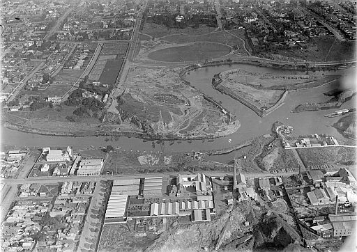
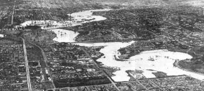
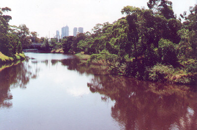
located in the Yarra River, 4 kilometers upstream from the Melbourne central business district.
About Herring Island
Herring Island is an important environmental and recreational asset in Melbourne's inner suburbs, and forms an important focus for the linear parkland proposed for the lower reaches of the Yarra River.
The Island contains indigenous vegetation, and provides important habitat for native fauna, particularly birds. Such areas are rare in the inner suburbs, and are a valuable ecological resource. Herring Island is also an important recreational resource which provides opportunities for nature study, passive recreation and adventure play.
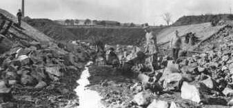
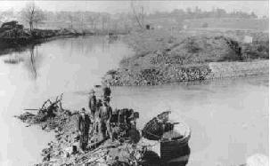
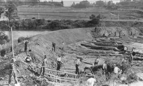
Herring Island is little known to the people of Melbourne despite its prominent position in the Yarra River. For years, the Island had been used as a depository for silt dredged from the Yarra River and has experienced periods of neglect. This has left a legacy of land degradation, particularly soil salting, tree dieback, and weed invasion.
The Friends group is working with Parks Victoria to restore the Island. There is a unique opportunity to become involved in this project, as volunteers and new members are welcome.
WATCH OUR YOUTUBE VIDEOS FROM
1993, 1996, 2000
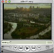 HERRING ISLAND 1993
- This video documents Herring Island in its early stages, from the floods of 1934, the making of the Island, its use as a silt dump and scout camp. "Friends" talk about the salinity and revegetation problems and look forward to its rehabilitation.
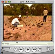 HERRING ISLAND 1996
- Showing Herring Island in the early stages of its rehabilitation, the provision of picnic facilities, water, and electricity to the Island. Interviews Melbourne Parks & Waterways staff and volunteers involved in the "Earth Day" planting in June 1996.
 HERRING ISLAND 2000
- Filmed by the Middle Park CAE, this video shows the results of the early plantings on Herring Island, some of the Sculptures erected between 1997 and 2000. It shows pictures of Indigenous people in 'early' Melbourne and paintings by indigenous artist William Barak. Interviews Parks Victoria ranger, Ray Bloore, "Friends of Herring Island" Damian Curtain and Eve Lawson, and takes you on a boat trip around the Island.